When Water is Not the Flood
Flooding is what happens when water meets gravity.
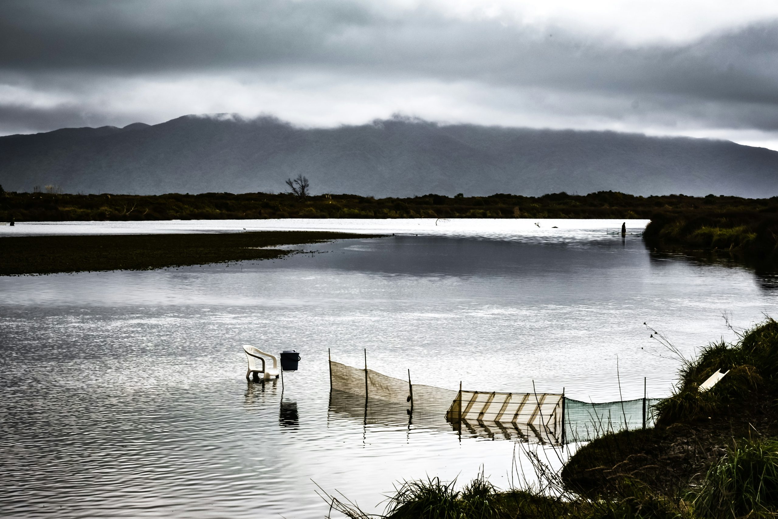
Sounds obvious, but it is often forgotten. Water does not care about boundaries, zones or coverage. It moves downhill through flow paths and into low points, exposing every little flaw in design or construction.
The real pressure on land development is from gravity, not Council.
“The map is not the territory.”
— Alfred Korzybski
Flood modelling overlays are useful because they show us what the problem might be. But they are still just maps made of lines and colours. The underpinning assumptions are opaque and convoluted. They are an attempt to recreate the beauty of a natural process in numbers.
But numbers do not fill tanks, provide habitats or ruin picnics. They aren’t hills, valleys or trees. Describing the real world on a screen or paper is far more challenging than singing in the rain. Representing water is an art form of its own.
Water takes many shapes and forms. In balance, it sustains life. At the extremes, it freezes into ice or evaporates into steam. Accumulated on land and pushed by gravity, it becomes a flood.
That is precisely when water stops being weather and starts becoming a problem.
“Nature, to be commanded, must be obeyed.”
— Francis Bacon
Good flood hazard management does not try to command the weather. Water has patience, mass and gravity on its side. The appropriate design response is to work with the water by giving it somewhere to go, lifting what needs to stay dry and letting the less important areas get wet.
It’s about using the lawn as a wide swale, putting a duck pond in the corner yard and making the driveway an ephemeral stream. The trick is to notice these opportunities before the storm does, because the next storm is always coming.
The 1 in 100-year storm is not some long-lost distant relative. It can visit for lunch and dinner on the same day – but thankfully that’s unlikely. In fact, there is a 39.5% chance of at least one 1 in 100-year storm occurring during a 50-year building lifespan.
“Remember that all models are wrong; the practical question is how wrong do they have to be to not be useful.”
— George E. P. Box
Flood modelling is not a crystal ball or a divining rod. It is not a prediction of the future. It uses mathematical equations to simulate how gravity moves a defined volume of water across a specific set of elevation data. It is useful not as prophecy, but as an explanation of observed phenomena. A flood model reveals the effects.
By changing the volumes and data we put into the model, we can test how those effects change. That allows us to shape the territory more carefully and obey nature more honestly.
With the National Policy Statement for Natural Hazards in force, flood risk needs to be assessed using the best available information and managed in a way that is proportionate to the risk.
The best responses are usually simple.
- Raise the floor level
- Keep the flow path
- Avoid the low point
- Don’t make the neighbour’s problem worse
Simple things done early beat clever things done late.
At Infill, we have been improving our flood hazard risk assessment capability, including the use of TUFLOW modelling to test pre- and post-development flooding and provide practical design recommendations.
If flooding is affecting your development plans, get in touch with the team.
We are always happy to wade in.